Consulting and engineering services in the fields of water management, environmental protection, waste management and remediation
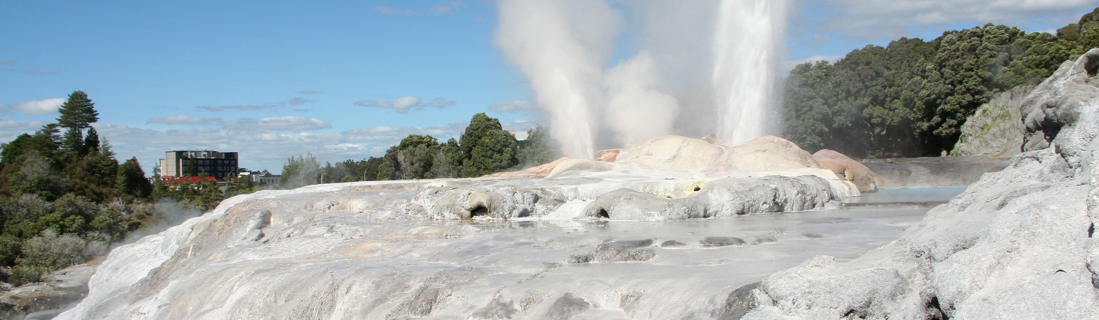
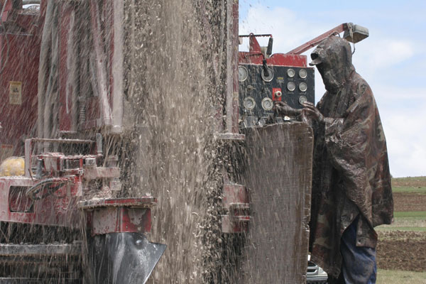
HYDROGEOLOGY, HYDROLOGY AND MINERAL WATER
We map and search for water resources, protect their reserves and protect you against flooding, we design and drill wells for mineral and thermal water, we create mathematical models for water management planning projects, and we are the experts in the official measurement of water flow.
WATER AND WASTEWATER TREATMENT PLANTS
We design drinking and process water treatment and wastewater treatment plants from technology design, project documentation to turnkey implementation and operation.
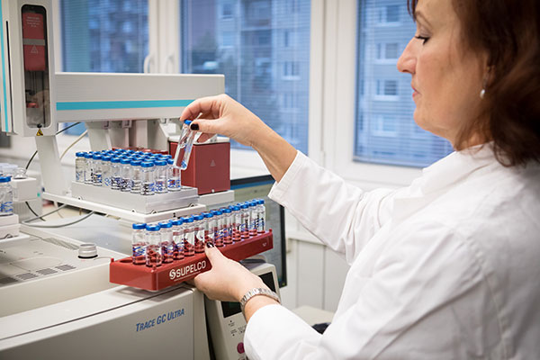
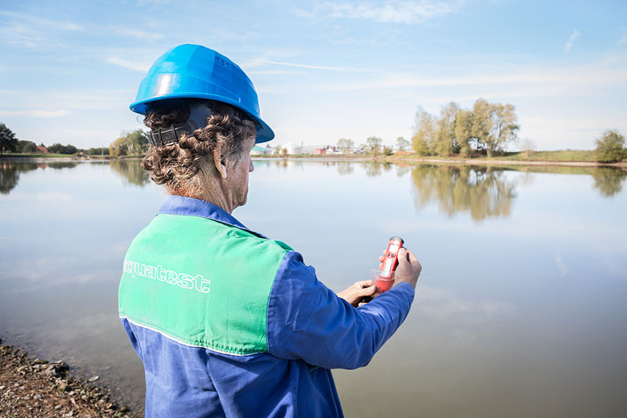
LABORATORY SERVICES
We provide a wide range of quality laboratory services in the field of environmental analysis, including accredited sampling, analysis and consulting.
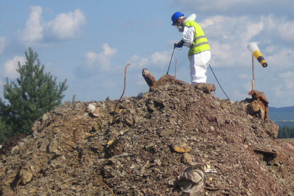
CONTAMINATED LAND REMEDIATION
We protect the environment and provide comprehensive remediation services from the initial contamination investigation and design work to the implementation, installation and operation of remedial technologies, and their evaluation and supervision.
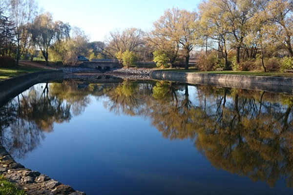
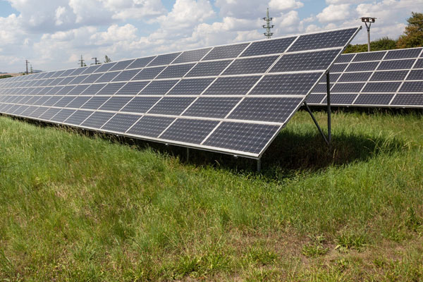
WATER MANAGEMENT
We design, implement and supervise the performance of comprehensive projects in water management, including recultivation, specialized parts of large-scale water management projects, activities related to water protection, river catchment planning, biological research and monitoring.
WASTE MANAGEMENT
We manage the secondary use of both hazardous and non-hazardous waste and we offer a wide range of sustainable solutions to your business needs.
RESEARCH AND DEVELOPMENT
We develop innovative and environmentally-friendly methods using bioprocesses, nanotechnologies and passive systems for water protection, revitalization and treatment, waste management and the efficient recycling of secondary raw materials.